
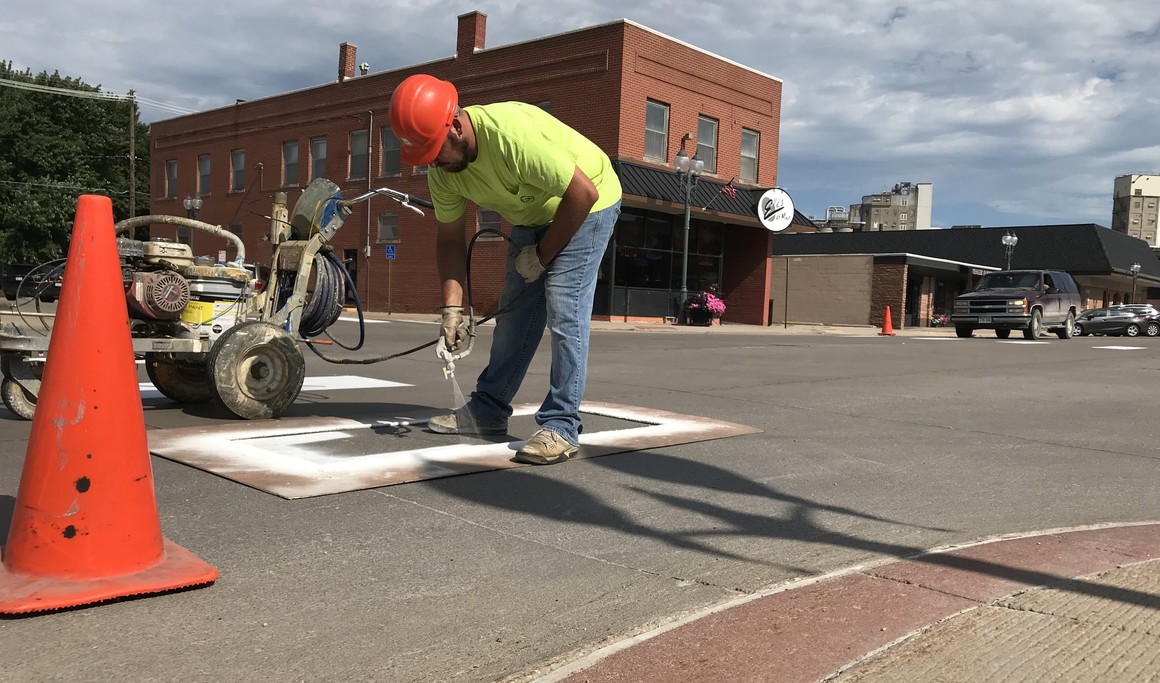


City Maps
 Launch the media gallery 1 player
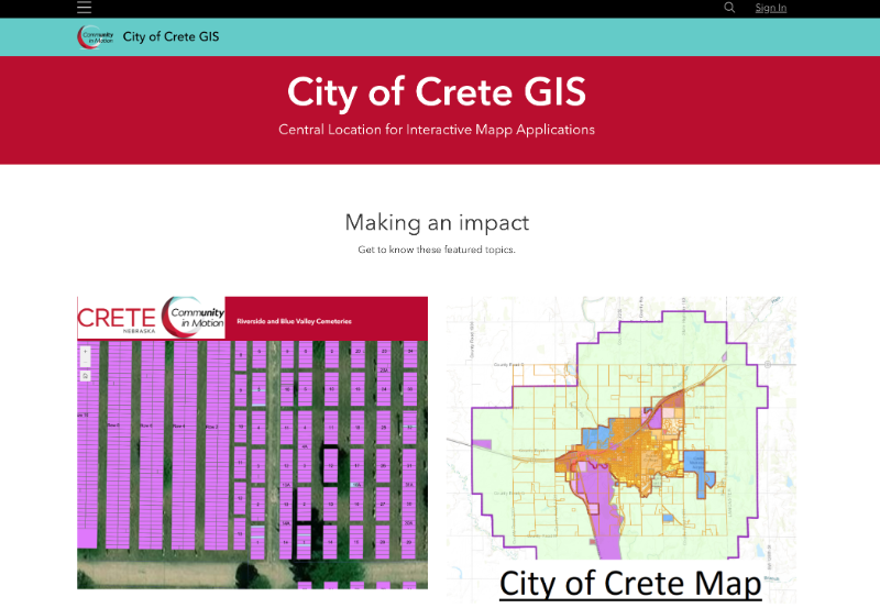
The City of Crete utilizes ArcGIS software for digitally mapping property zones, districts, and other information related to the physical layout of the municipality and surrounding area within its jurisdiction.
Map functions include:
- Parcels, Sections, and address points
- Three Wards for city council representation and voting precincts
- Agricultural, Commercial, Industrial, Residential, and Public Zoning
- Redevelopment Areas
- Floodplain Area (Updated October 2022)
- Wellhead Protection Area
- Public Parks and Amenities
- Schools
- Cemeteries - grave site information for two municipal cemeteries, Riverside and Blue Valley
- Emergency Snow Routes - applicable during a city-declared snow emergency
- Crete Fire District - Crete Volunteer Fire and Rescue coverage area
- Garbage and recycling collection routes
- Hydrant flushing areas (April and October, specific dates TBA)
- Historical places
- Public Works and utilities (login required)
(For more information on the city departments or functions listed above, visit these links: city council, zoning regulations, Wellhead Protection Plan, municipal cemeteries, snow emergency routes, Crete Volunteer Fire and Rescue Department, garbage and recycling service, hydrant flushing)


Hints for using ArcGIS maps:
- Once on the City of Crete’s main mapping site viewers can choose between three mapping functions: 1) City of Crete mapping, 2) Riverside and Blue Valley Cemeteries, and 3) Historical Tour.
- City of Crete mapping has tabs accessed on the left hand side of the screen for Layers (parcels, zoning, floodplain, voting precincts, garbage routes, no parking, etc.) and Basemaps (street, satellite, topographical, terrain, etc.)
- Use the search function by clicking the magnifying glass on the right hand side of the map to search for property addresses.
- Cemetery maps have a search function for grave site information
- Historical Tour map includes photos, information, and locations for sites and homes in Crete.
For additional questions on using the ArcGIS site (https://cityofcrete-crete-ne.hub.arcgis.com/) or login details for Public Works mapping contact:
Emerson Aschoff, GIS Technician
Public Works at City Hall
243 East 13th Street
Phone: 402.826.4312